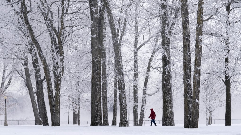
The capital is bracing for “very” cold temperatures with wind chill values ranging between -30 and -37 starting Sunday evening.
The cold temperatures are expected to last until the middle of the week, as a polar vortex arrives in the capital.
Environment Canada calls for a high of -12 C, which feels like -22 with the wind chill, and a 30 per cent chance of flurries Sunday. A low of -20 C and partly cloudy skies are expected for tonight.
Though the start of the week will be sunny, the temperatures are expected to dip further down. A high of -18 C and a low of -24 C are forecasted for Monday.
On Tuesday, a high of -16 C and sunny skies are expected. A low of -25 C and clear skies are expected for the night.
The last time the temperatures reached a low below -20 C in Ottawa was on Feb. 25, 2023, -24.4 C.
Last year, the coldest was -19.C on Dec. 22.
The average temperatures for this time of year are a high of -6 C and a low of -16 C.
Extreme cold warning for Ottawa Valley
Environment Canada has issued an extreme cold warning for the Ottawa Valley, including Petawawa, Pembroke, Cobden, Renfrew, Arnprior and Calabogie.
Dangerously cold conditions are expected tonight and into Monday morning but may persist through Wednesday in some areas.
Wind chill values could reach -35.
“Extreme cold puts everyone at risk. Watch for cold related symptoms: shortness of breath, chest pain, muscle pain and weakness, numbness and colour change in fingers and toes,” Environment Canada says.
“Frostbite can develop within minutes on exposed skin, especially with wind chill.”
The national forecaster also says to dress in layers and check on older family, friends and neighbours.
A weather warning has not been issued for the city of Ottawa.


